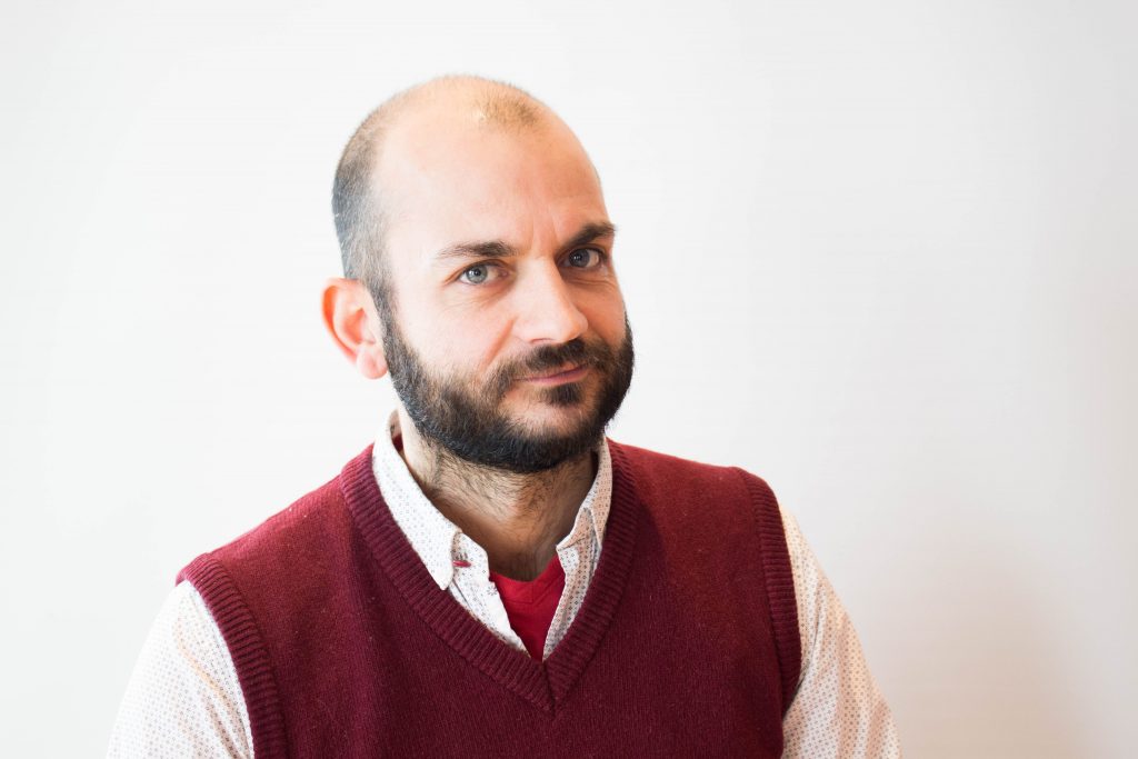

Eduardo Dias
Team Leader Spatial Data
Eduardo shares professional activities between academia and industry. He is a researcher and teaches several GIS-courses at BSc and MSc level. His research focusses on using remote sensing for planning processes. He is especially keen to explore the added value of GI technology to support spatial planning. Eduardo obtained his PhD in economics (2007) for which he studied the acceptance and added value of information systems.
Eduardo Dias
