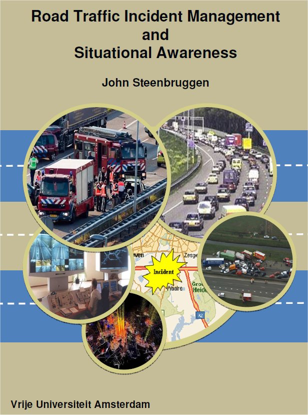
 Road Traffic Incident Management and Situational Awareness
Incident Management
Traffic incidents have a significant impact on a reliable transport system which form an increasing cause of traffic jams, congestion and vehicle lost hours. Besides the direct impacts in terms of property damage, injuries, fatalities and other road safety effects for road users nearby traffic incidents, they are also relevant for mobility. Incidents can quickly lead to congestion and associated travel delay, wasted fuel, increased pollutant emissions and higher risks of secondary incidents.
Incident Management (IM) is in general the policy that through a set of measures aims at reducing both the negative effects on the traffic flow conditions and the effects on safety, by shortening the period needed to clear the road after an incident has happened.
See a 7 min. video explaining what Incident Management entails (in Dutch):
The role of Situational Awareness
The key obstacle to effective crisis response is the communication needed to access relevant data or expertise and piece together an accurate understandable picture of reality (Hale, 1997). The crucial element to obtain this “understandable picture of reality” for traffic IM is to improve the quality of the “situational interface” of the traffic management centre and the cooperating control centres. In the literature this is known as the concept of “Situational Awareness” (SA).
SA for traffic IM can be achieved by the introduction of a Common Operational Picture (COP). A COP offers an incident overview that enables to make effective, consistent, and timely decisions. In order to maintain SA, communications and incident information must be continually updated. Having a COP during an incident helps to ensure consistency for all emergency responders engaged in an incident. (Homeland, 2008). Establishing and maintaining context in a COP is increasingly recognised as a fundamental requirement for information fusion (Steinberg and Rogova, 2008).
Use of telecom data to support SA
An interesting source of individually-based information on the space-time position and behaviour of persons is in principle available from mobile (or cell) phone data derived from the GSM network. In recent years data deriving from mobile phones records has attracted the attention of researchers in different fields as a proxy for various types of social and spatial interaction. See, for instance, this video.
There is a wealth of research on the use of information technology to support emergency services. Traffic IM is a much more limited domain than general emergency management; however, it can be seen as a special case of simplified emergency response. To a certain extent, the concepts and application available for emergency resonse services can also be applied to design a traffic IM system based on telecom data.
The aim of this thesis is:
to analyse how SA can be improved to support daily traffic IM
The first focus of this thesis is to analyse how the traditional way of information sharing can be improved with the introduction a “netcentric” approach and a COP. We will look at the current data sets, methods and problems. Central in this analysis is to measure which information quality constructs will fit with the user needs to improve SA. The second focus is to analyse how aggregated anominised telecom data can support IM and improve SA.
