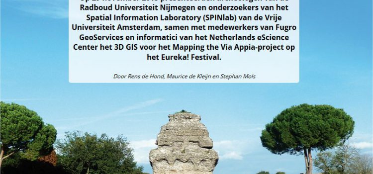
In een unieke samenwerking tussen archeologen, geodeten en informatici is een onderzoeksinstrument ontwikkeld dat de archeologen in staat stelt hun onderzoeksgebied – een deel van de vijfde en de zesde mijl vanaf het centrum van Rome – in een virtuele
3D archaeology in Rome – Mapping Via Appia in GIS-Magazine

Our path-finding project Mapping the Via Appia featured at the Dutch National Science Agenda`s Eureka Festival last November. GIS Magazine published a nice article (in Dutch) on the achievements of the project.
Rens de Hond (Via Appia-project) wins OIKOS Thesis Award
The national research school for Classical Studies (OIKOS) presents two annual awards for the best research master’s theses written in the previous academic year. One award is offered to the best thesis in the disciplines of Greek, Latin and Ancient
eScience team collaboration on Via Appia point cloud
Last week NLeSC´s complete team of eScience Research Engineers, together with archaeologists and historians of the Via Appia project, collaborated for three days in a row on building a point cloud 3D Geographic Information System for the archaeological study area
SPINlab releases Testaccio Digital Cultural Biography app through the itunes App Store
Maurice de Kleijn (SPINlab) and co-workers have developed a Spatial Data Infracstructure (SDI) to support the management and research of the history and heritage of Testaccio, a quarter in Rome, Italy. The project is part of the Challenging Testaccio research
Digital Humanities: Hype of Revolutie? Piek Vossen (VU), Marianne Linde (TNO) en Maurice de Kleijn (FEWEB-SPINlab) schetsen de ontwikkelingen
Deel 1: De digitale kaart van landschap, architectuur en verstedelijking. Met een inleiding door Piek Vossen (VU) en lezingen van Marianne Linde (TNO) en Maurice de Kleijn (VU) De virtuele en de fysieke wereld worden in toenemende mate één. Google
