A lively academic debate exists on the use of games in formal education. Pedagogic/cognitive sciences promote the use of games in class, because these instructional media are considered to have positive effects on affective and cognitive learning. However, according to
Inzet Geodesign voor Ruimtelijke Prioritering van onderhoud aan (vaar)wegen
Op verzoek van Rijkswaterstaat Oost Nederland is in maart dit jaar gestart met het project Geodesign voor Ruimtelijke Prioritering van Onderhoud aan Wegen en Vaarwegen. In dit project wordt nagegaan of geodesign een zinvolle bijdrage kan leveren aan de ruimtelijke
Strategische Verkenning Geodesign
Een extra dimensie voor ruimtelijke informatie met geodesign De hoeveelheid aanwezige data bij Rijkswaterstaat (RWS) is enorm. Het is belangrijk om deze informatie zodanig te ontsluiten dat er binnen de planvorming optimaal gebruik van kan worden gemaakt. Een goede kaartafbeelding
UNIGIS online u_Lecture: GI Capacity Building in Schools

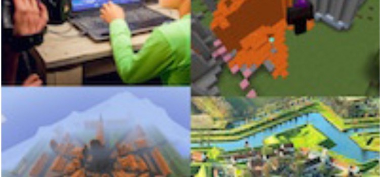
Is Minecraft a useful teaching tool? Researchers at SPINlab (Vrije Universiteit Amsterdam) are trying to find the answer to this question. Their focus group are teachers who use Minecraft in the classroom in three Dutch schools in Lelystad, Zaandam and
GIS Magazine besteed aandacht aan Geodesign Summit Europe
In GIS Magazine nr. 8 besteedt redacteur Remko Takken aandacht aan de Geodesign Summit Europe, gehouden afgelopen oktober in Salzburg. De Nederlandse inbreng was groot. Natuurlijk was ook het SPINlab van de Vrije Universiteit Amsterdam vertegenwoordigd. Lees er alles over
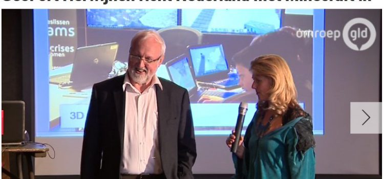
Minecraftprofessor richt Nederland in met Minecraft

HERWIJNEN – Heel Nederland nabouwen in de virtuele werkelijkheid, dat start vandaag in het GeoFort in Herwijnen. Het landelijke Minecraftproject is het initiatief van het GeoFort. Met behulp van echte gegevens van het Kadaster en Rijkswaterstaat kan iedereen vanaf vanmiddag
Project Mozambique
Project Mozambique: A pictorial approach to geodesign: a case study for the Lower Zambezi valley In a recent project the SPINlab Geodesign team has applied it’s experience with geodesign in data rich environments such as the Netherlands and the UK
Springer book on GeoDesign published
Springer published the book by Spinlab researchers Danbi Lee, Eduardo Dias and Henk Scholten about Geodesign examples and success stories: Lee, D.J., Dias, E.S. & Scholten, H.J. (eds), Geodesign by Integrating Design and Geospatial Sciences, GeoJournal Library Series, Volume 111,
UNIGIS Annual Alumni Day 2014
This year’s Alumni Day Theme is: 3D/4D/5D GIS: on the brink of a Revolution? The challenges and opportunities for data management, modelling and geodesign We invite you to join us at the Annual Alumni Day. We will invite speakers from
