Skip to content
SPINlab Vrije Universiteit Amsterdam

SPINlab Vrije Universiteit Amsterdam

Spatial Information laboratory

Menu

  • Home
  • Research
    • Spatial Analysis & Modelling
      • Climate Adaptation
      • Spatial Planning
      • Land Use Modelling
      • Land Use Scanner model
      • Location value
    • GeoDesign
      • Wastecosmart
    • Risk Management
      • RWS 3D Linked Data Viewer
    • Spatial Digital Humanities
      • 3D GIS Via Appia
      • Archaeological Information System
      • EUWATHER
      • Rediscovering Testaccio
    • Sanne Hettinga
    • Jip Claassens
  • Education
    • UNIGIS Distance-learning MSc. in GIS
    • GeoServices 4 Sustainability
    • Supervised theses
  • Publications
    • Articles & book contributions
    • Conference & Seminar contributions a.o.
    • PhD dissertations
    • Reports
    • Research memoranda
    • Land Use Scanner publications
  • News & Agenda
  • About
    • Staff
    • Partners
      • PBL
      • RWS
    • Contact
  • Support
    • Spatial Data
    • GIS software
    • Tools & Models
      • Definite / BOSDA
      • GeoDMS BAG-Geocoder
      • Land Use Scanner – Student Edition

Spatial modelling

Europe’s population density patterns mapped in Nature Communications
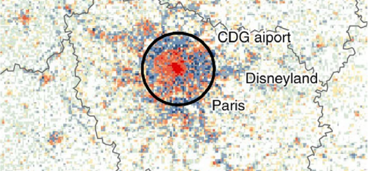
Europe’s population density patterns mapped in Nature Communications

Filipe Batista e Silva is a PhD candidate at SPINlab working for the European Union’s Joint Research Centre. Over the past years he worked on uncovering temporal changes in Europe’s population density patterns using a data fusion approach. He combines

Dewi Westra 20th September 202020th September 2020 Research, Spatial analysis, Spatial Planning Read more

Theory and Application of Dynamic Spatial Time Series Models

Today Bo Andrée defended his PhD dissertation in an online session that had a live stream on YouTube. The somewhat impersonal, digital setting did not inhibit a lively discussion. Bo’s thesis sets out to develop theory and methods to analyze

Dewi Westra 26th May 202029th May 2020 News, PhD research Bo, Spatial analysis Read more

Latest updates

  • Europe’s population density patterns mapped in Nature Communications 20th September 2020
  • Theory and Application of Dynamic Spatial Time Series Models 26th May 2020
  • Relation between air pollution and confirmed COVID-19 cases researched 2nd May 2020
  • Voor een appartement wordt meer betaald 27th April 2020
  • 3D archeologie in Rome 24th February 2020
Copyright © 2021 SPINlab Vrije Universiteit Amsterdam. Powered by WordPress. Theme: Spacious by ThemeGrill.
  • Disclaimer
  • Cookie & Privacy Policy