Skip to content
SPINlab Vrije Universiteit Amsterdam

SPINlab Vrije Universiteit Amsterdam

Spatial Information laboratory

Menu

  • Home
  • Research
    • Accessibility
    • Spatial Analysis & Modelling
      • Land Use Modelling
        • Land Use Scanner model
        • Land Use Scanner – Student Edition
      • Climate Adaptation
      • Spatial Planning
      • Location value
    • GeoDesign
      • Wastecosmart
    • Tools & Models
      • Definite / BOSDA
      • GeoDMS BAG-Geocoder
    • Research archive
      • Risk Management
        • RWS 3D Linked Data Viewer
        • GDI4DM
      • Spatial Digital Humanities
        • 3D GIS Via Appia
        • Archaeological Information System
        • CLUE
        • EUWATHER
        • Rediscovering Testaccio
        • Rediscovering landscape
        • citivu.nl
      • GeoServices 4 Sustainability
  • Education
    • UNIGIS Distance-learning MSc. in GIS
    • Supervised theses
  • Support
  • Publications
    • ISAAC
    • PhD dissertations
    • Land Use Scanner publications
  • News & Agenda
  • About
    • Staff
    • Partners
      • PBL
      • RWS
    • Contact

Geodesign

Twinning for climate-resilient urban solutions
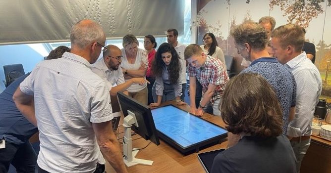
Twinning for climate-resilient urban solutions

University of Twente and Vrije Universiteit cooperated in a project to explore the potential of digital twins for developing sustainable, climate-resilient urban development strategies. Digital twins offer a realistic representation of the built environment based on a variety of spatial

Eric Koomen 12th June 202318th October 2023 Climate change, Education, Geodesign, Sustainable Urban Development Read more

Digital twin Alkmaar

Als eerste stop op haar digitaliseringstour, deed de Staatssecretaris voor Koninkrijksrelaties en Digitalisering de gemeente Alkmaar aan. Tijdens dit werkbezoek werd de digital twin van Alkmaar officieel opengesteld. Als onderdeel van het inhoudelijk programma mocht de VU kort vertellen over recent mobiliteitsonderzoek

Jip Claassens 16th September 202223rd June 2023 Geodesign, Research Read more

Webinar digital twins

Digital twin is het nieuwe buzzwoord in de wereld van data en AI. Maar: wat is het? Een digital twin is een virtuele representatie van een fysieke situatie of product. Het dynamisch meten vormt een belangrijk onderdeel van een DT

Jip Claassens 17th June 202126th June 2023 Geodesign, News, Research, Seminars Read more

Inzet Geodesign voor Ruimtelijke Prioritering van onderhoud aan (vaar)wegen

Op verzoek van Rijkswaterstaat Oost Nederland is in maart dit jaar gestart met het project Geodesign voor Ruimtelijke Prioritering van Onderhoud aan Wegen en Vaarwegen. In dit project wordt nagegaan of geodesign een zinvolle bijdrage kan leveren aan de ruimtelijke

Maurice de Kleijn 18th September 201726th June 2023 Geodesign, Rijkswaterstaat Read more

Strategische Verkenning Geodesign

Een extra dimensie voor ruimtelijke informatie met geodesign De hoeveelheid aanwezige data bij Rijkswaterstaat (RWS) is enorm. Het is belangrijk om deze informatie zodanig te ontsluiten dat er binnen de planvorming optimaal gebruik van kan worden gemaakt. Een goede kaartafbeelding

Maurice de Kleijn 18th September 201726th June 2023 Geodesign, Rijkswaterstaat Read more

SPINlab participates in large VU-project for Agribusiness Development Project in Kenya

Kenya project CIS-VU

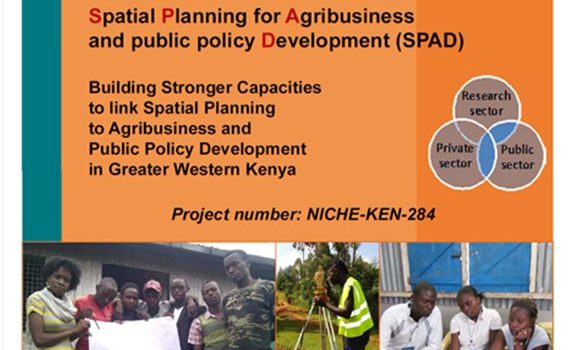
The Centre for International Cooperation of VU Amsterdam (CIS-VU) has been awarded a grant worth €1.8 mln. to implement a project on Spatial Planning for Agribusiness and Public Policy Development in Kenya. The grant is part of the Netherlands Initiative

Maurice de Kleijn 12th October 201612th October 2016 Education, Geodesign, News, Research, Spatial Planning Read more

UNIGIS online u_Lecture: GI Capacity Building in Schools

GeoCraftNL

Is Minecraft a useful teaching tool? Researchers at SPINlab (Vrije Universiteit Amsterdam) are trying to find the answer to this question. Their focus group are teachers who use Minecraft in the classroom in three Dutch schools in Lelystad, Zaandam and

Maurice de Kleijn 16th December 201529th October 2018 Geodesign, UNIGIS No Comments Read more

Slotbijeenkomst Jaar van de Ruimte 15-12-2015 groot succes voor GeoCraftNL

Op 15 december namen het SPINlab, GeoFort en Geodan – onder de noemer van GeocraftNL- deel aan de verhalenmarkt van de Slotbijeenkomst van het Jaar van de Ruimte in Amersfoort. Op de beurs presenteerden zij hun bevindingen over Minecraft als

Maurice de Kleijn 15th December 20155th November 2018 Geodesign No Comments Read more

GIS Magazine besteed aandacht aan Geodesign Summit Europe

In GIS Magazine nr. 8 besteedt redacteur Remko Takken aandacht aan de Geodesign Summit Europe, gehouden afgelopen oktober in Salzburg. De Nederlandse inbreng was groot. Natuurlijk was ook het SPINlab van de Vrije Universiteit Amsterdam vertegenwoordigd. Lees er alles over

Maurice de Kleijn 10th December 201529th October 2018 Geodesign No Comments Read more

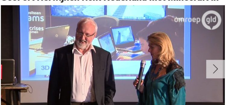
Minecraftprofessor richt Nederland in met Minecraft

Minecraft-professor Henk Scholten bij Omroep Gelderland

HERWIJNEN – Heel Nederland nabouwen in de virtuele werkelijkheid, dat start vandaag in het GeoFort in Herwijnen. Het landelijke Minecraftproject is het initiatief van het GeoFort. Met behulp van echte gegevens van het Kadaster en Rijkswaterstaat kan iedereen vanaf vanmiddag

Maurice de Kleijn 3rd October 20158th November 2018 Geodesign, News No Comments Read more
  • « Previous

Latest updates

  • Vulnerable areas prone to urban development 1st July 2024
  • Future land use mapped to assess upcoming water challenges 24th April 2024
  • Understanding the barriers for 15-minute cities 18th October 2023
  • Twinning for climate-resilient urban solutions 12th June 2023
  • Where to build our houses? 18th April 2023
Copyright © 2025 SPINlab Vrije Universiteit Amsterdam. All rights reserved. Theme Spacious by ThemeGrill. Powered by: WordPress.
  • Disclaimer
  • Cookie & Privacy Policy