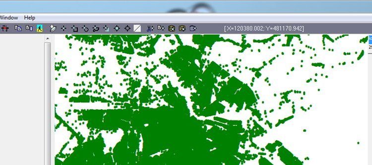
SPINlab PhD candidate Chris Jacobs-Crisioni recently contributed some of his research data to a Dutch TV-show, ‘Onzichtbaar Nederland’ (‘The invisible Netherlands’). That show takes the viewer through physical and societal changes in the country with often spectacular GIS visualizations. The
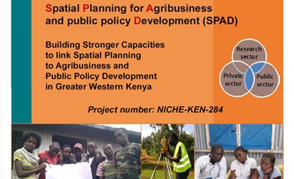
SPINlab participates in large VU-project for Agribusiness Development Project in Kenya

The Centre for International Cooperation of VU Amsterdam (CIS-VU) has been awarded a grant worth €1.8 mln. to implement a project on Spatial Planning for Agribusiness and Public Policy Development in Kenya. The grant is part of the Netherlands Initiative
Succesful PhD Defense Panayiotis Sophronides

On October 7, our SPINlab-colleague Panayiotis Sophronides has successfully defended his PhD dissertation at the National Technical University of Athens. His thesis is entitled ‘Decision Support Systems for Participatory Flood Risk and Disaster Management’ and purports to critically review the
Free Geocoding tool for Dutch addresses available

The SPINlab is proud to present a free geocoding tool. It can be used to attach X,Y-coordinates to Dutch addresses and uses the Dutch Basic Administration of Addresses and Buildings (BAG) as it’s geocoding source. Using an open source GIS-platform
Towards the (Dutch) Archaeological Linked Open Data Cloud
Spinlab researcher Xander Wilcke is working on a solution to release archaeological knowledge that is now often stored on hard drives and only accessible by request. The Archaeological Protocol 0102 provides a specification as to how rich XML summarizations, aptly
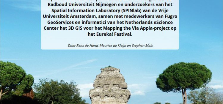
3D archaeology in Rome – Mapping Via Appia in GIS-Magazine

Our path-finding project Mapping the Via Appia featured at the Dutch National Science Agenda`s Eureka Festival last November. GIS Magazine published a nice article (in Dutch) on the achievements of the project.
Rens de Hond (Via Appia-project) wins OIKOS Thesis Award
The national research school for Classical Studies (OIKOS) presents two annual awards for the best research master’s theses written in the previous academic year. One award is offered to the best thesis in the disciplines of Greek, Latin and Ancient
UNIGIS online u_Lecture: GI Capacity Building in Schools

Is Minecraft a useful teaching tool? Researchers at SPINlab (Vrije Universiteit Amsterdam) are trying to find the answer to this question. Their focus group are teachers who use Minecraft in the classroom in three Dutch schools in Lelystad, Zaandam and
Slotbijeenkomst Jaar van de Ruimte 15-12-2015 groot succes voor GeoCraftNL
Op 15 december namen het SPINlab, GeoFort en Geodan – onder de noemer van GeocraftNL- deel aan de verhalenmarkt van de Slotbijeenkomst van het Jaar van de Ruimte in Amersfoort. Op de beurs presenteerden zij hun bevindingen over Minecraft als
GIS Magazine besteed aandacht aan Geodesign Summit Europe
In GIS Magazine nr. 8 besteedt redacteur Remko Takken aandacht aan de Geodesign Summit Europe, gehouden afgelopen oktober in Salzburg. De Nederlandse inbreng was groot. Natuurlijk was ook het SPINlab van de Vrije Universiteit Amsterdam vertegenwoordigd. Lees er alles over
