During 2017 and 2018, the World Bank with the support from Spinlab researchers Eric Koomen and Eduardo Dias carried out the project entitled: “A National GIS-Based Cultural Landscape Database for Large Infrastructure Planning and Development in Bhutan”. This project is part of the World Bank
SpinLAB & HERILAND
HERILAND is a pan-European research and training network on cultural heritage in relation to Spatial Planning and Design. The Vrije Universiteit collaborates with five other European universities in this network to devise and guide transdisciplinary, cross-sectoral and mainstreamed planning and
Spatial Data Science, Archaeology and Heritage Management conference

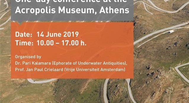
On Friday June 14, SPINlab’s researchers Rens de Hond, Maurice de Kleijn and Chris Lucas will attend a one-day conference at the Arcopolis Museum in Athens. The aim of this conference is to reflect on past and future applications of
SPINlab will start a new research project on Urban development and mobility with partners in Europe and China
A large research grant has been awarded to SPINlab in the NSFC JPI Urban Europe programme. The project focusses on SustaInable Mobility and Equality in mega-ciTy RegIons: patterns, mechanisms and governance (SIMETRI). The project consortium is led by Prof. Michael
Urban densification session at RSA conference
VU-SPINlab organized a special session on urban densification at the Regional Studies Association’s winter conference in London last week. The central question was: Are cities dense enough? Several speakers from universities and the European Commission addressed this question, explaining regional
Famine Action Mechanism
PhD candidate Bo Andrée is working on an ambitious high profile project at the World Bank: the Famine Action Mechanism (FAM). This project seeks to monitor and detect early signs of famine risk and link forecasts to prearranged and agreed
Vasco Diogo defends his PhD
On October 12, Vasco Diogo has successfully defended his PhD dissertation at the VU University. His thesis ‘Agricultural land systems: Explaining and simulating agricultural land-use patterns’ reveals to what extent empirical and theory-based approaches of spatial analysis and land-use modelling
Large Grant to set up Urban Mobility Observatory
NWO has awarded seven proposals for innovative research infrastructure within the programme NWO Investment Grant Large. With this programme, NWO funds large research facilities, within which researchers from throughout the Netherlands work together, often with international partners. Erik Verhoef, together
Welke invloed heeft de omgeving op onze gezondheid?
Hoe beïnvloedt onze omgeving onze leefstijl en daarmee onze gezondheid? En wie is het meeste vatbaar voor deze invloed? Het Geoscience and hEalth Cohort COnsortium (GECCO) van Amsterdam UMC maakt het beantwoorden van deze en andere leefstijlvragen mogelijk. Het GECCO
Urban sprawl report OECD
One of our alumni (Lara Engelfriet) contributed to an extensive urban sprawl study while working at the OECD. Using highly detailed spatial data the study quantifies the multiple dimensions of urban sprawl in a new set of indicators. The outcomes
