Spinlab onderzoeker Maurice de Kleijn (geospatiaal archeoloog (PhD), en Rens de Hond (promovendus-archeoloog, 3D-specialist) hebben in de afgelopen maanden bijgedragen aan de tentoonstelling Via Appia Revisited. Tijdreizen over de Eeuwige Snelweg. Deze tentoonstelling is een tijdreis langs de beroemde antieke
Spinlab research featured in the Bhutanese Cultural Atlas
During 2017 and 2018, the World Bank with the support from Spinlab researchers Eric Koomen and Eduardo Dias carried out the project entitled: “A National GIS-Based Cultural Landscape Database for Large Infrastructure Planning and Development in Bhutan”. This project is part of the World Bank
SpinLAB & HERILAND
HERILAND is a pan-European research and training network on cultural heritage in relation to Spatial Planning and Design. The Vrije Universiteit collaborates with five other European universities in this network to devise and guide transdisciplinary, cross-sectoral and mainstreamed planning and
Spatial Data Science, Archaeology and Heritage Management conference

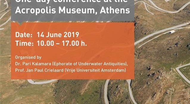
On Friday June 14, SPINlab’s researchers Rens de Hond, Maurice de Kleijn and Chris Lucas will attend a one-day conference at the Arcopolis Museum in Athens. The aim of this conference is to reflect on past and future applications of
SPINlab will start a new research project on Urban development and mobility with partners in Europe and China
A large research grant has been awarded to SPINlab in the NSFC JPI Urban Europe programme. The project focusses on SustaInable Mobility and Equality in mega-ciTy RegIons: patterns, mechanisms and governance (SIMETRI). The project consortium is led by Prof. Michael
Nacht van Rome
Op zaterdag 26 mei spreekt dr. Maurice de Kleijn tijdens de Nacht van Rome in de Balie Amsterdam. Hij demonstreert hoe moderne archeologen en architectuurhistorici digitale 3D technologie gebruiken om het verleden te simuleren. Hij neemt u daarvoor mee naar
Promotie virtueel tijdreizen. Digitale ruimtelijke technieken om het verleden te onderzoeken
VIRTUEEL TIJDREIZEN. DIGITALE RUIMTELIJKE TECHNIEKEN OM HET VERLEDEN TE ONDERZOEKEN Startdatum: 19-01-2018 Tijd: 13.45 Locatie: Aula Titel: Innovating Landscape Research through Geographic Information Science Spreker: M.T.M. de Kleijn Promotor: prof.dr. H.J. Scholten, prof.dr. J.C.A. Kolen, copromotor dr. N. van Manen
The Waterstaatskaart, a unique historical data source for the Dutch Water System
Researchers from the Spatial Information Laboratory (SPINlab) are currently working on a project to explore the possibilities of the Waterstaatskaart, a 19th century map containing all kind of information on the Dutch water system on a national scale. By analysing
3D Archeologie bij de Universiteit van Nederland
In een unieke samenwerking tussen archeologen, geodeten en informatici is een onderzoeksinstrument ontwikkeld dat de archeologen in staat stelt hun onderzoeksgebied – een deel van de vijfde en de zesde mijl vanaf het centrum van Rome – in een virtuele
Towards the (Dutch) Archaeological Linked Open Data Cloud
Spinlab researcher Xander Wilcke is working on a solution to release archaeological knowledge that is now often stored on hard drives and only accessible by request. The Archaeological Protocol 0102 provides a specification as to how rich XML summarizations, aptly
